• Recent
  • Towns
  • Topics
    • Arts
      • Language
      • Museums & Galleries
      • Public Art
    • Civic Life
      • Citizen Engagement
      • Governance
      • Health & Well-Being
      • Refugees
    • Community Heart & Soul
    • Economic Development
      • Breweries & Distilleries
      • Entrepreneurs
      • Transportation
    • Education
      • K-12
      • Community Colleges & Technical Training
      • Colleges & Universities
    • Environment & Sustainability
      • Parks & Recreation
      • Trees
    • Local Institutions
      • Libraries
    • Local Journalism
    • Travel
      • Aviation
  • Homepage
  • About
  • Donate
  • Newsletter
  • Recent
  • Towns
  • Topics
    • Arts
      • Language
      • Museums & Galleries
      • Public Art
    • Civic Life
      • Citizen Engagement
      • Governance
      • Health & Well-Being
      • Refugees
    • Community Heart & Soul
    • Economic Development
      • Breweries & Distilleries
      • Entrepreneurs
      • Transportation
    • Education
      • K-12
      • Community Colleges & Technical Training
      • Colleges & Universities
    • Environment & Sustainability
      • Parks & Recreation
      • Trees
    • Local Institutions
      • Libraries
    • Local Journalism
    • Travel
      • Aviation
  • Homepage
  • About
  • Donate
  • Newsletter
  • Parks & Recreation

Past, Present, and Future on the Water: Using StoryMaps to Explore Bucksport, Maine

What does a mile-long stretch along the Penobscot River tell the walker about Bucksport, Maine? As it turns out, a lot.

  • Ben Speggen
  • July 28, 2022
A small child points as two older adults look at him. In the background, Bucksport, Maine's paper mill can be seen.
Picnic Point along the Walkway, paper mill in the background. (Courtesy Hans Krichels)

Share

Republish

Using Esri’s ArcGIS StoryMaps, the Our Towns team takes a new look at Bucksport, Maine here. We revisit the town Deb Fallows initially reported on here, where she saw firsthand the work of Community Heart & Soul ®, a resident-driven community development process. (CH&S is a partner and supporter of Our Towns reports.)

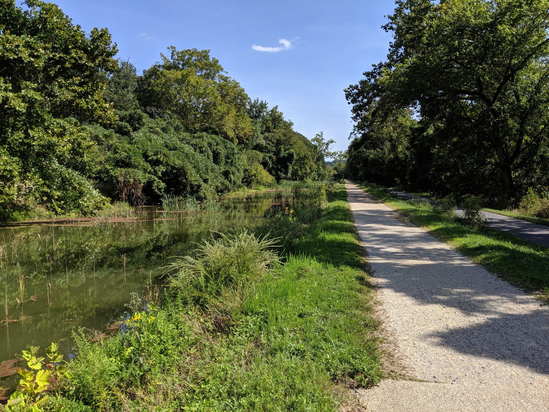
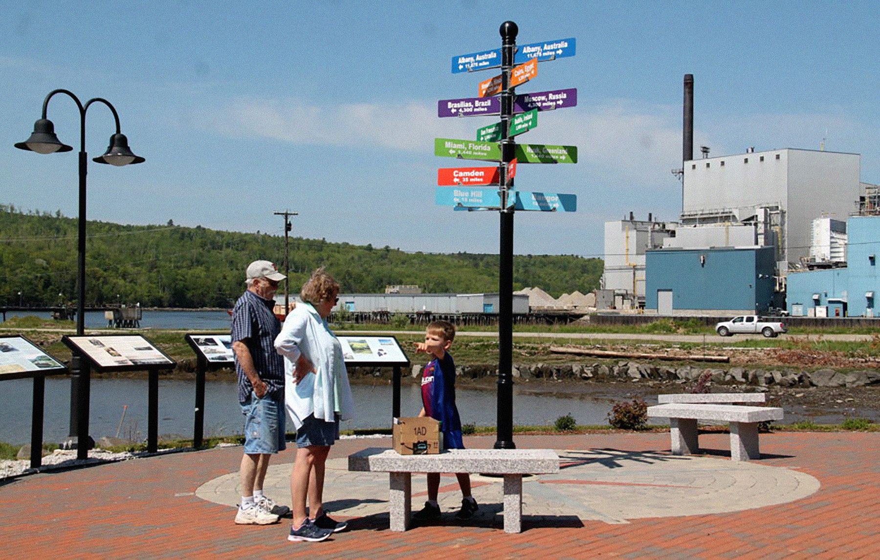
Since then, Bucksport was named ‘Best Coastal Small Town’, which Deb wrote about here, and she focused a follow-up post on Bucksport’s riverwalk here, which served as inspiration to create our first story map.

What are StoryMaps, and why use them? Jim Fallows writes about how new technologies allow for new ways to tell stories here, exploring the potential of the StoryMap platform created by our friends at Esri, the digital mapping company based in Redlands, California.

One thing that stories and maps share in common is their ability to help humans better understand the world around them and their place in it. StoryMaps marries the two to afford users to create map-, photo-, and video-forward visually dynamic content.

We have seen towns use this innovative platform to create engagement in new ways, like this example from Kent, Ohio, and others.

As storytellers in the modern era, we believe in using the tools of the modern era. We look forward to continuing featuring community-made story maps, and creating our own. They offer today’s citizen one more way to understand their towns and their neighbors, and places near and far from where they call home, as story maps help us look at journalism, civic engagement, and the power of storytelling in new and exciting ways.

Here is Our Towns’ Past, Present, and Future on the Water StoryMap about Bucksport, Maine’s Walkway.

Tweet
Share
Share
Share
Tags
  • Community Heart & Soul
  • Rural & Regional
  • StoryMap

Newsletter

For more from Our Towns, please sign up for our newsletter here.


Latest

  • Three young high school graduates holding pennants from the universities they will attend. Two are going to UCLA, and one to Cal Poly. 1
    The Wonderful Company’s Wonderful Schools
    • July 10, 2025
  • Image of children playing around a water tower, with bright paintings on it and the message "You Have Found Lost Hills" 2
    Finding the City of Lost Hills
    • June 4, 2025
  • Library building on a sunny day in San Diego. 3
    How Libraries Are Becoming ‘Sustainable’
    • August 6, 2024

Creative Commons License

Republish our articles for free, online or in print, under a Creative Commons license.

Close window X

Republish this article

Creative Commons License

This work is licensed under a Creative Commons Attribution-NoDerivatives 4.0 International License.

Thank you for your interest in republishing this story. This work is licensed under a Creative Commons Attribution-NoDerivatives 4.0 International License. Unless otherwise noted, Our Towns stories are free to republish our stories for free, online or in print. You may copy and print the article contents from the box below. Note: some images and interactive features may not be included here. Please review our complete Republishing Policy here.

Past, Present, and Future on the Water: Using StoryMaps to Explore Bucksport, Maine

by Ben Speggen, Our Towns
July 28, 2022

1

Related Articles

Three kayakers paddle down a river.
View Post
  • Parks & Recreation

Great Falls Reimagines Its Identity through Nature-Based Tourism

  • Ben Speggen
  • March 30, 2023
Along the C&O Canal in Washington, D.C. (Photo by Deborah Fallows.)
View Post
  • Parks & Recreation

The River Walk Theory of Life

  • Deborah Fallows
  • February 2, 2022
In the Okefenokee Swamp (James Fallows)
View Post
  • Parks & Recreation

St. Marys Interlude: The Okefenokee

  • James Fallows
  • April 9, 2014

STAY CONNECTED

Receive the latest news and updates

SUBSCRIBE

© 2025 Our Towns Civic Foundation. All Rights Reserved.

  • Contact
  • Privacy Policy
  • Republishing Policy

Input your search keywords and press Enter.